Video Atlas
Japan
Explore
Regions
Prefectures
Creators
Plan
EN
日本語
メニュー / Menu
Explore
Regions
Prefectures
Creators
Plan
Kansai
Wakayama Prefecture
WAKAYAMA / 都道府県
和歌山県
Wakayama Prefecture
Area / 面積
4,725 km²
Municipalities / 市町村数
30
Areas
Spots
Prefecture Map / 県マップ
Loading map / 地図を読み込み中
Explore Areas / エリアから探す
かつらぎ町
Katsuragi
›
那智勝浦町
Nachikatsuura
›
和歌山市
Wakayama City
›
高野町
Koyasan
›
白浜町
Shirahama
›
那智勝浦町
Nachikatsuura
›
Popular spots
Popular Spots
View all →
Temples & Shrines
和歌山県・高野町
高野山
Koyasan (Mount Koya)
Videos 0
Temples & Shrines
和歌山県・那智勝浦町
熊野那智大社
Kumano Nachi Taisha
Videos 0
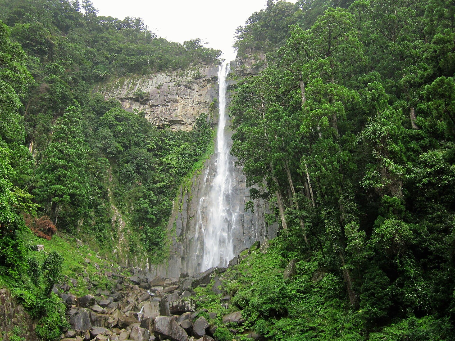
Scenic Views
和歌山県・那智勝浦町
那智の滝
Nachi Falls
Videos 0
Temples & Shrines
和歌山県・かつらぎ町
丹生都比売神社
Niutsuhime Shrine
Videos 1